
Click the photo to view the full-size version
| Name | Westminster Junction Tunnel #1 |
| Built By | Great Northern Railway Northern Pacific Railway |
| Currently Owned By | BNSF Railway |
| Contractor | Winston Brothers of Minneapolis, Minnesota (Original Tunnel) Unknown (1922 Alterations) |
| Length | 677 Feet Total |
| Width | 25 Feet |
| Height Above Ground | 25 Feet (Estimated) |
| Superstructure Design | Stone Arch, Brick Arch and Concrete Slab Tunnel |
| Substructure Design | Stone Masonry |
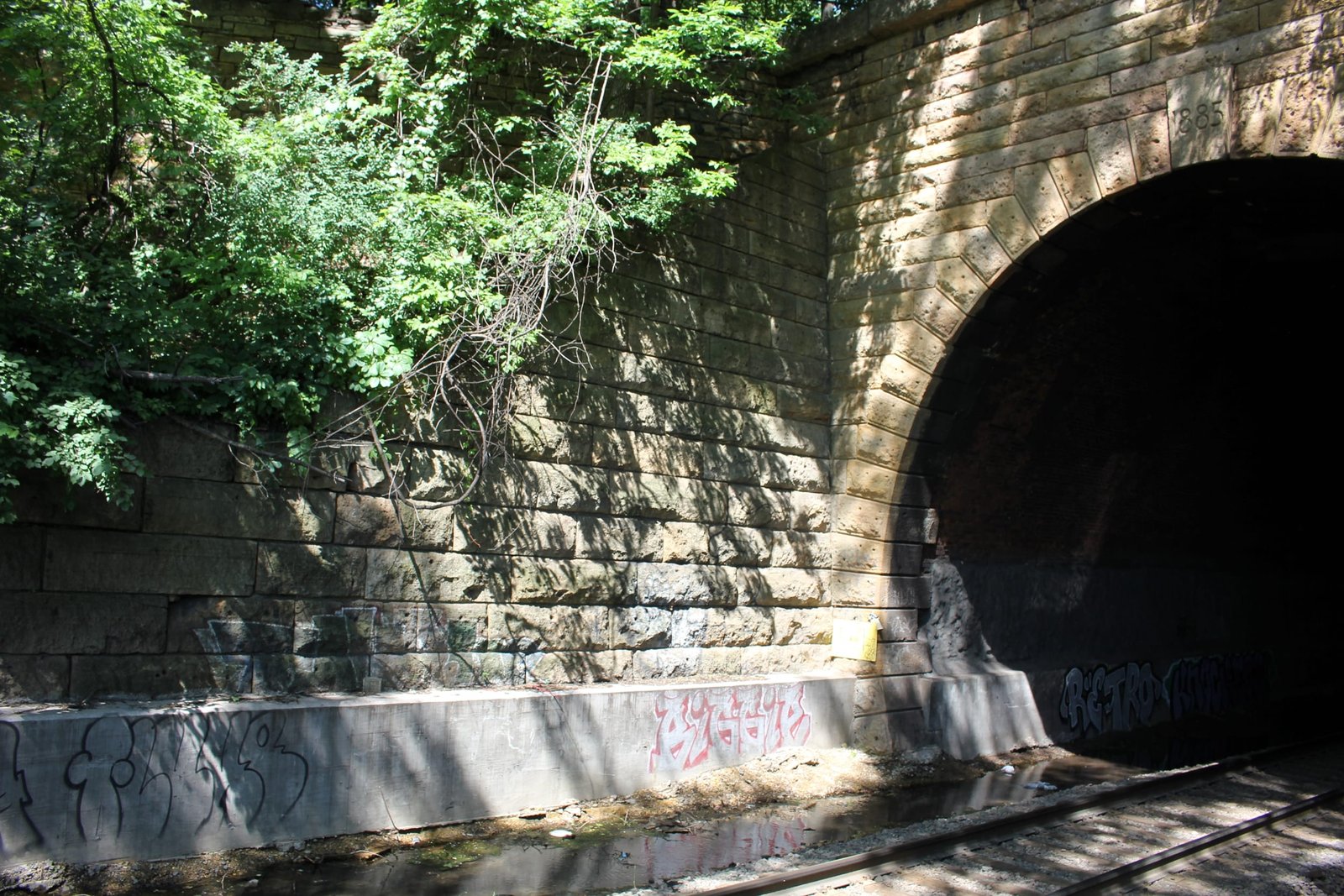
| Date Built | 1885, Reconstructed 1922 |
| Traffic Count | 20 Trains/Day (Estimated) |
| Current Status | In Use |
| Significance | Moderate Significance |
| Documentation Date | 7/2/2017 |
In 1885, the Saint Paul and Northern Pacific Railway Company (StP&NP) began construction on five separate lines in Minneapolis. Line "A" would extend from Seventh Street in St. Paul to 20th Street in Minneapolis, crossing the Mississippi River twice. Line "B" would extend from St. Anthony Junction (near present day MN-280 and Kasota Avenue) to Northtown Junction. Line "C" would extend along Ramsey Street from Line "A" to Plymouth Avenue. Line "D" consisted of a 1 mile long industrial line along 2nd Street. Line "E" consisted of a connection between Line "A" and Line "C" along Mulberry Street. Work on the five lines would be completed in 1886.
The StP&NP would be purchased by the Northern Pacific Railway (NP) in 1896. NP continued to operate these lines as part of their vast Twin Cities network. Portions of line "C" would be abandoned in the 1960s. In 1970, NP would merge with rival Great Northern Railway and the Chicago, Burlington & Quincy to form Burlington Northern Railroad (BN). Line "E" would be abandoned during the 1970s. Portions of line "A" through downtown Minneapolis were removed during the 1980s, and Bridge #9 was purchased by the City of Minneapolis for trail use. In 1996, BN merged with the Atchison, Topeka & Santa Fe Railway to form BNSF Railway. BNSF currently owns line "A" and line "B" as part of the St. Paul Subdivision. The northern portions of Line "A" are also used by BNSF as a spur to serve the Cemstone plant. Lines "C" and "D" have largely been developed, and line "E" has become part of a trail.
View an article about the Wetminster Junction Tunnels
During the early years of railroads in Minnesota, there were limited options for entering St. Paul from the north/northwest. One of the flattest routes was through the Trout brook Valley, which offered reasonable gradients but confined conditions with a meandering stream. The St. Paul & Pacific Railroad (StP&P) constructed the first line through the valley in 1862. This line was part of a 10 mile route that would head north before turning west towards Minneapolis at Westminster Street. In 1871, the St. Paul, Stillwater & Taylors Falls Railroad (StPS&TF) constructed a line in the area, which would enter the Trout Brook valley at Westminster Street. The line turned south to follow the east side of the StP&P, forming the east leg of a wye. A second line was built west to meet with the StP&P line towards Minneapolis, which formed the north leg of a wye. The StP&P became part of the St. Paul, Minneapolis & Manitoba Railway (StPM&M) in 1879; the StPS&TF part of the St. Paul & Sioux City Railway (StP&SC) in 1880 and the StP&SC was acquired by the Chicago, St. Paul, Minneapolis & Omaha Railway (Omaha Road) in 1881.
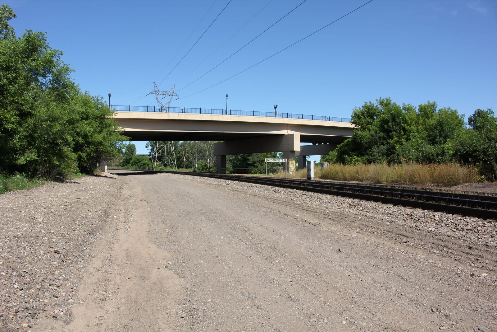
By the early 1880s, the Trout Brook valley had become congested with two railroads operating mainlines, sprawling terminal facilities and several industries. Between 1881 and 1886, the StPM&P widened its line to four tracks at the Westminster Street junction. It is believed that the Omaha Road also widened its line to two tracks at the junction in the early 1880s. By the mid-1880s, much of Trout Brook had been channelized or covered in a stone arch sewer. In 1885, the St. Paul & Northern Pacific Railway (StP&NP) constructed a new 10 mile line to link its system at Minneapolis to the terminals at St. Paul. As part of the work, the StP&NP constructed "Line A" or the "West Side Line" from north of Maryland Avenue to 3rd Street. The West Side Line would follow the west side of the StPM&M tracks between Westminster Street and 3rd Street. To avoid the use of a grade crossing, the StP&NP developed an expensive solution to cross through the wye. Between 1885 and 1886, a lengthy double track tunnel was constructed under the north and west legs of the wye. To expand operations, the StP&NP constructed the "East Side Line" between 1888 and 1889. This line added two additional tracks and involved constructing two shorter tunnels under the east side of the wye. In 1890, the StPM&M was leased to the Great Northern Railway (GN); and in 1896, the StP&NP was merged into the Northern Pacific Railway (NP). The StPM&M ceased to exist in 1907 after selling all property to the GN.
A fourth railroad sought access to the valley in the early 20th Century. The Minneapolis, St. Paul & Sault Ste. Marie Railway (Soo Line) had previously bypassed St. Paul to the north an desired a connection to terminals and warehouses in the city. In 1908, work began on a short branch line into St. Paul. As part of the work, an additional tunnel was constructed under the west side of the wye, with the Soo Line tracks following the west side of the NP West Side Line. In addition to the four main railroads, several other railroad companies utilized trackage rights over the lines to reach St. Paul. Throughout the 20th Century, operations in the valley were gradually reduced, with the GN, NP, Omaha Road and Soo Line all reducing trackage and consolidating facilities. The Omaha Road had been leased by the Chicago & North Western Railway (C&NW) since 1882, and was fully consolidated into the C&NW in 1957. In 1970, NP and GN merged with the Chicago, Burlington & Quincy Railroad to form Burlington Northern Railroad (BN). The Soo Line branch was abandoned in the early 1980s, and the tunnel subsequently demolished. The C&NW became part of Union Pacific Railroad in 1995 and BN was merged into BNSF Railway in 1996. Today, BNSF operates much of the trackage at the junction, including the St. Paul Subdivision (former NP) and Midway Subdivision (former GN). UP also operates the north and east legs of the wye as part of the Altoona Subdivision. Both the St. Paul and Midway Subdivisions have been reduced to double track each, while the Altoona Subdivision operates as a single track. Despite this, the junction remains an important piece of railroad infrastructure in the Midwest.
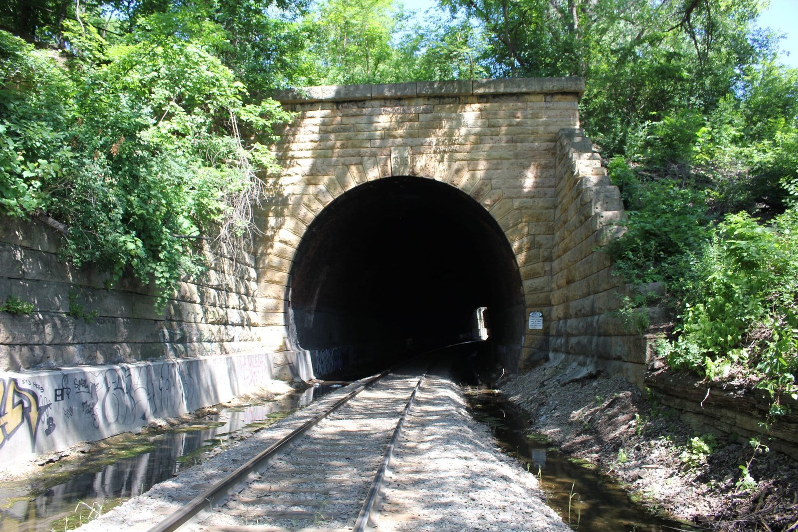
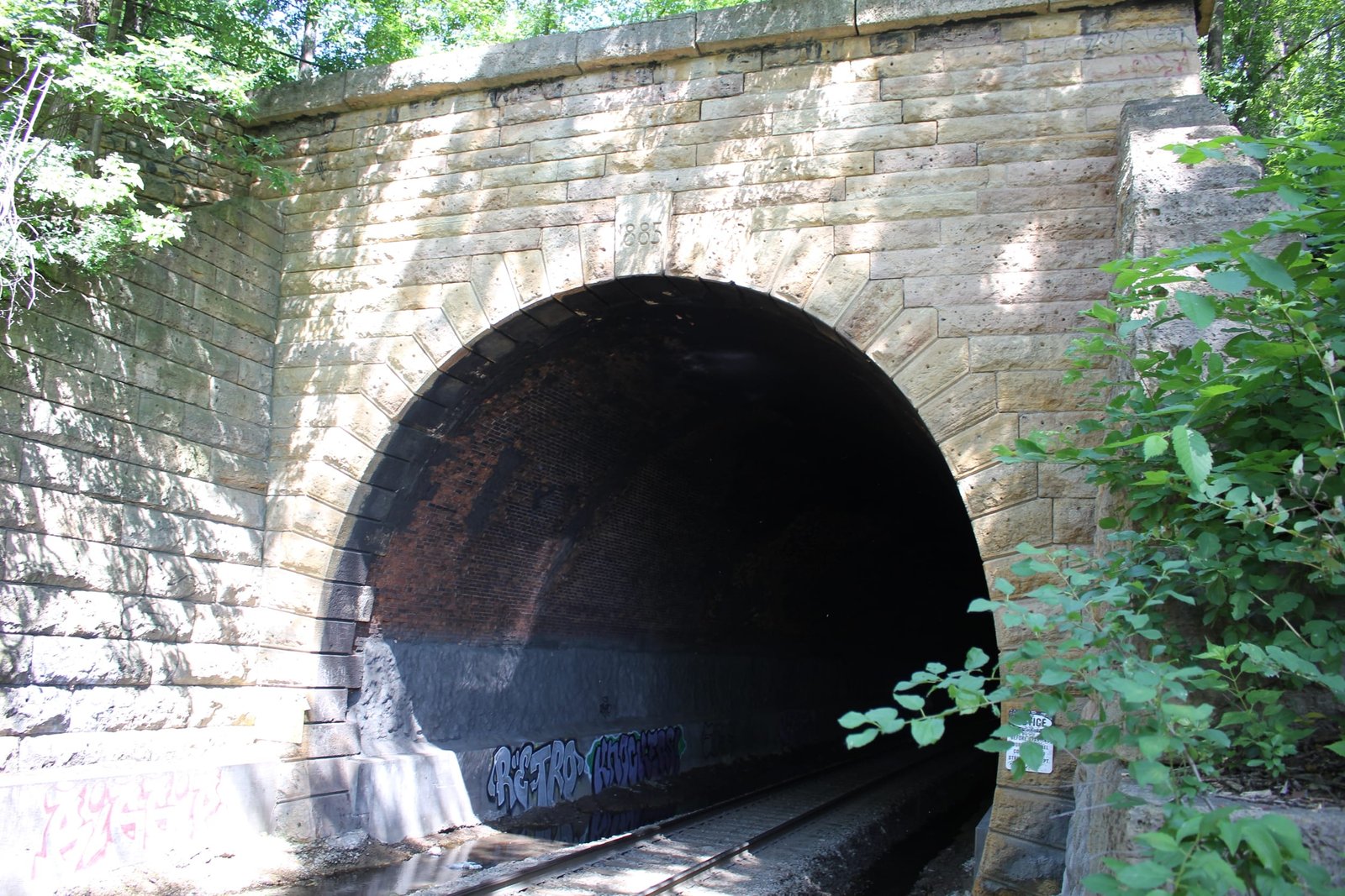
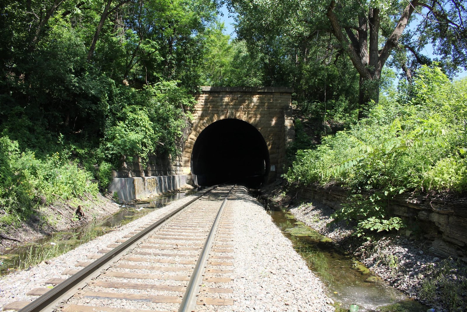
Tunnel #1 is the southwest and longest tunnel at the junction, which carries the former NP West Side Line underneath the former GN mainline at the west leg of the wye. Originally, the tunnel was part of a significantly longer structure, made of this tunnel and Tunnel #4. Construction on the tunnel began in early 1885 and was completed in early 1886. Like all tunnels at the junction, the tunnel was constructed using cut-and-cover methods, which involved constructing a temporary timber trestle under the StPM&M and Omaha Road tracks, constructing a large stone and brick arch structure by traditional means and filling the remaining opening. Since the tunnel is relatively shallow and placed through fill, this method was the only option feasible for construction. Originally, the tunnel was 1,053 feet long and consisted of both brick arch and stone arch sections. Brick sections were used to reduce the total cost of the structure, while stone sections were used underneath tracks of the north and west legs of the wye. During construction, a portion of the tunnel had to be removed and replaced, as the brick section was extended too far, which would have prevented the StPM&M from constructing additional tracks on the west leg of the wye. In addition, a 10-foot stone arch culvert was used near the middle of the structure to carry Trout Brook underneath the tunnel. This situation resulted in a highly unusual tunnel above a culvert configuration, which may have been the only such structure constructed in the United States. In the early 1890s, a 176-foot brick arch section near the Trout Brook crossing began to fail. It was decided to remove the roof at this section, separating the structure into two tunnels and leaving only the abutments to function as retaining walls. In 1922, additional alterations were made to the brick arch sections of the separate tunnels, when the southern 73 feet of the northern tunnel (tunnel #4) and northern 97 feet of the southern tunnel (tunnel #1) were removed and the faces replaced by a concrete slabs. It was determined that the brick arch sections had failed due to the effects of frost, smoke and vibrations from trains passing overhead.
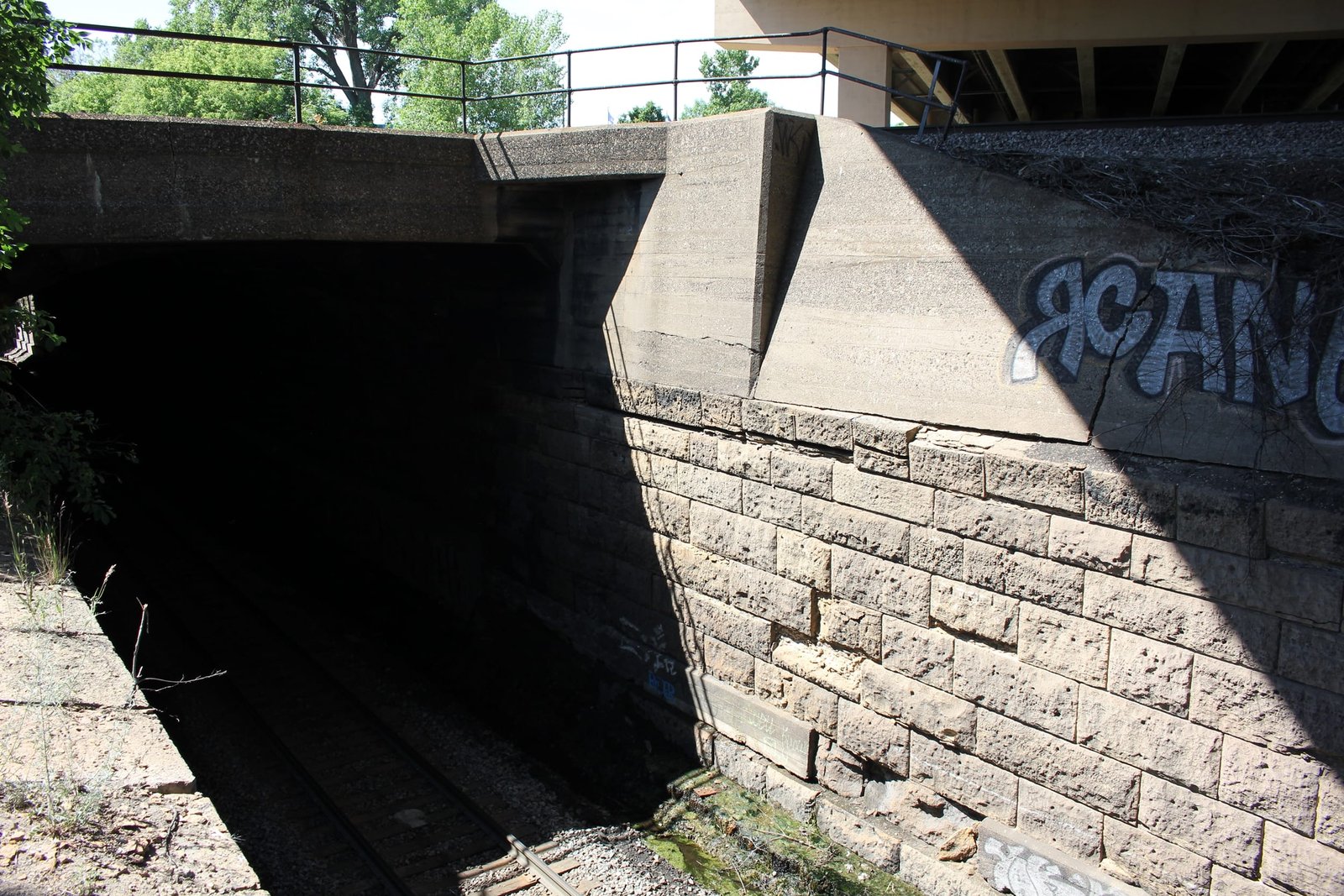
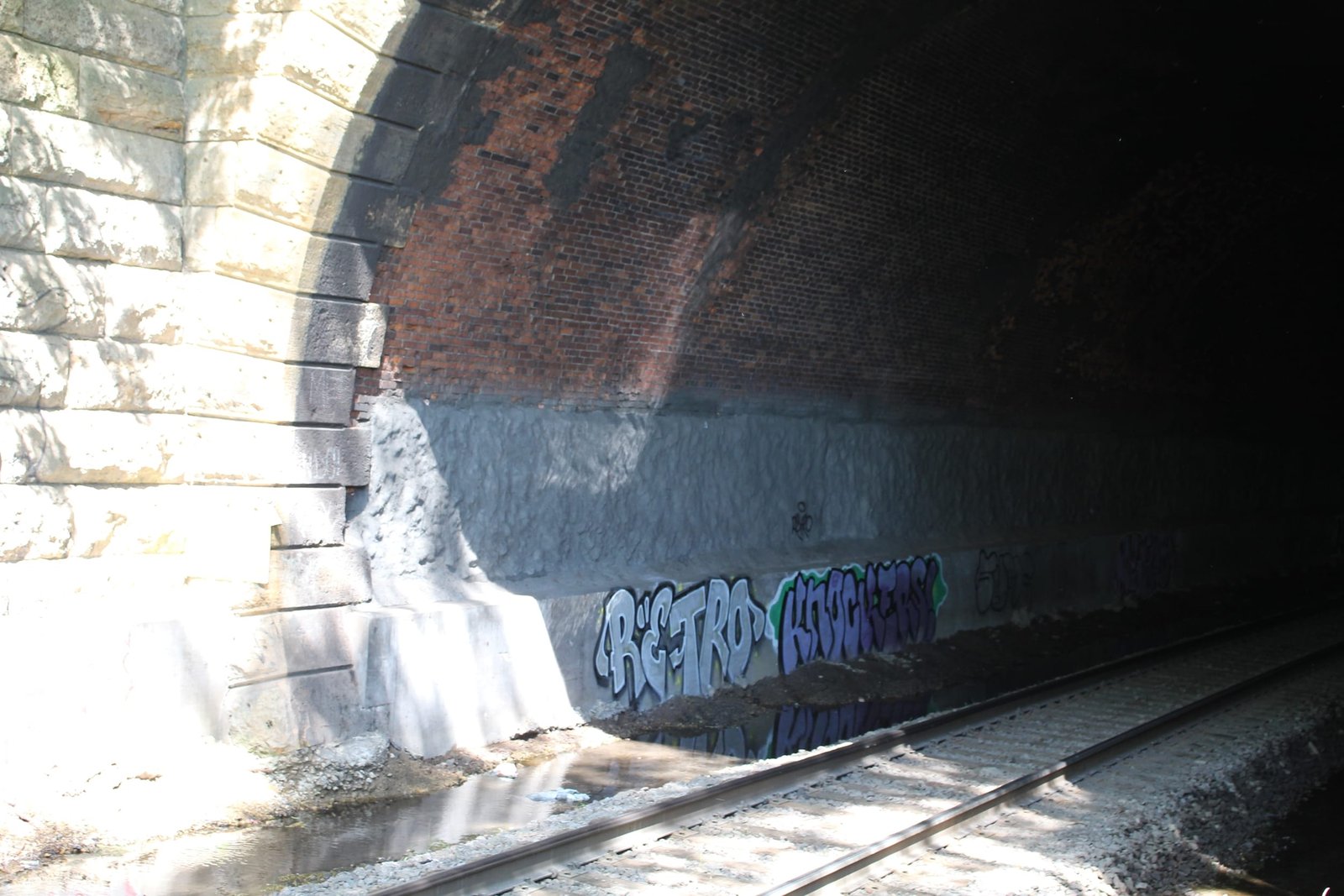
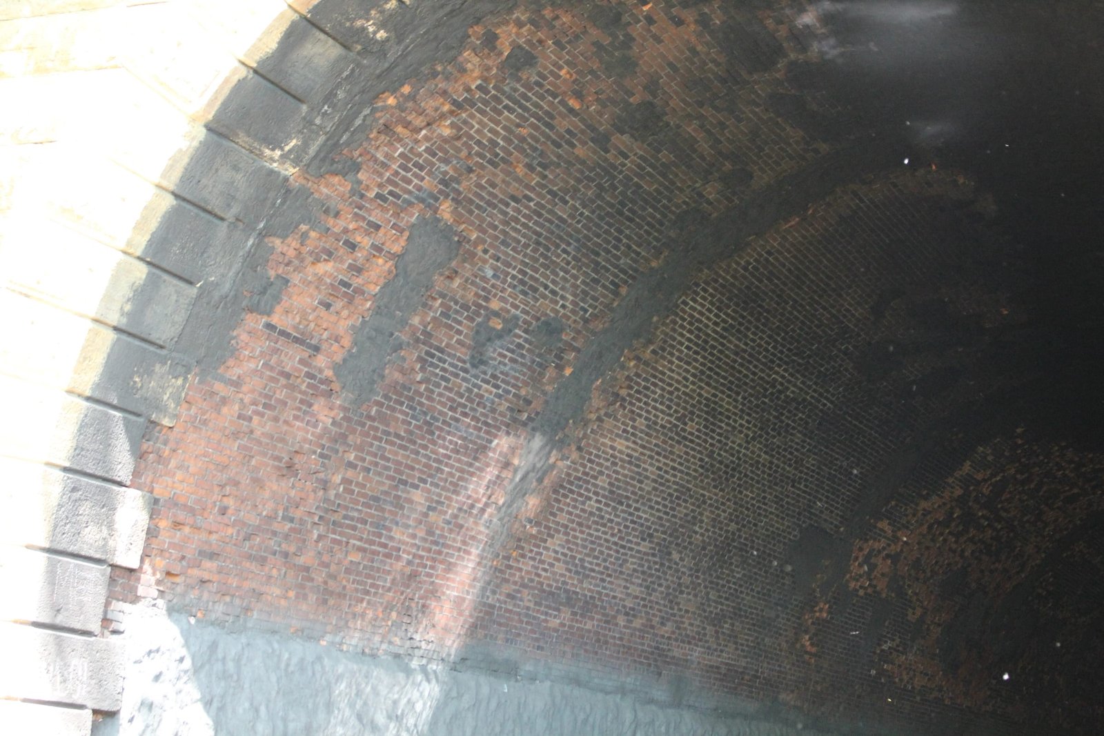
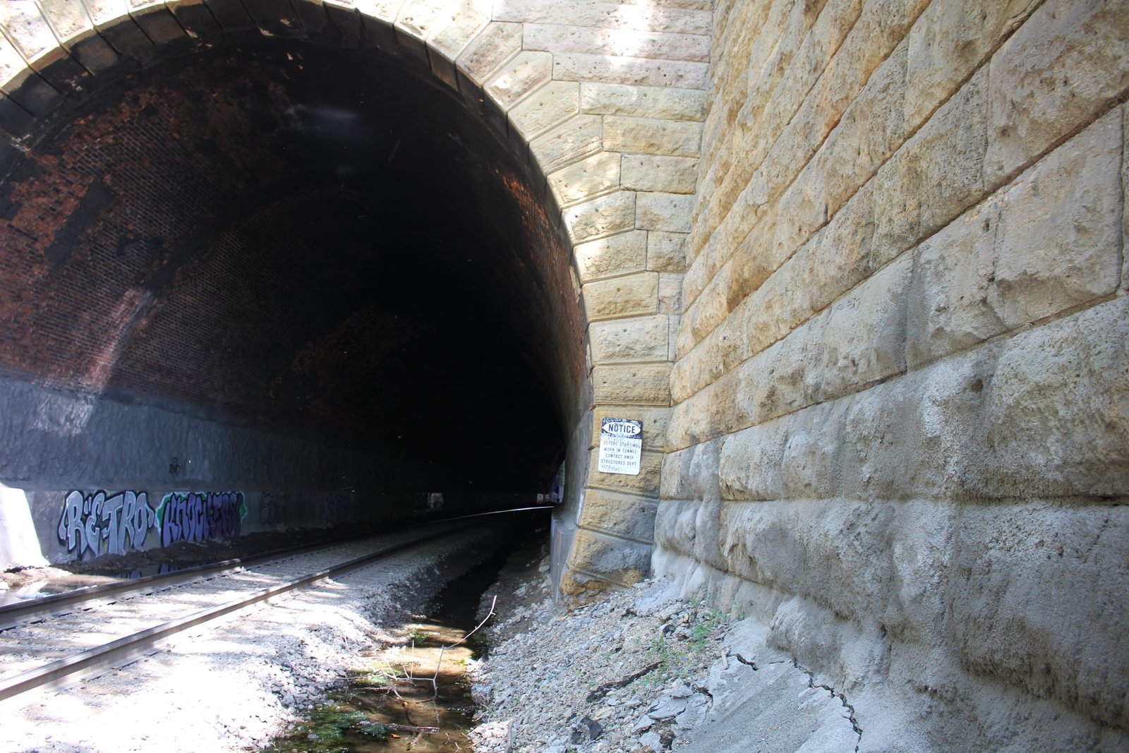
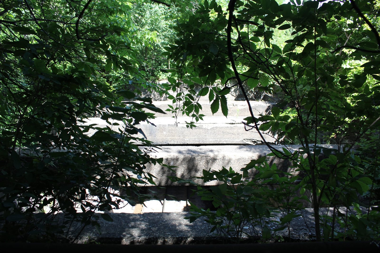
Currently, the tunnel consists of a lengthy 677-foot tunnel constructed of stone arch, brick arch and concrete slab sections. The northern portal of the tunnel uses a concrete slab design, set onto the original stone abutments of the tunnel. This section contains no decorative features, and was built to tie into the retaining walls/former abutments. Much of the middle sections of the tunnel consist of brick arches, which are set onto stone abutments. The section under the west leg of the wye still uses a traditional semicircular stone arch design, as does the first several feet at the south portal. The south portal uses tall headwalls, which are capped by a single row of stones. In addition, a 50-foot portion south of the wye track has been removed, and the walls are braced with several large concrete beams. Stepped wing walls are present at the southwest and southeast quadrants of the south portal, and extend parallel to the railroad. No wing walls are present at the north portal, but retaining walls which were part of the old abutments are still in use. These retaining walls are integral to the arch culvert carrying the line over Trout Brook, which is located about 200 feet north of the north portal. Stone for the tunnel consists of a yellow limestone, likely quarried at Mankato, Minnesota. Winston Brothers constructed the stone and brick portion of the tunnel, while the concrete portion was constructed by an unknown contractor. It is believed Winston Brothers also constructed the stone arch culvert for Trout Brook, while the tunnel and alterations were designed by the railroad company.
While not a true tunnel, railroad tunnels are exceptionally uncommon in Minnesota. The only true bored tunnels are located in northern Minnesota, where large hills and solid rock allowed for traditional tunnel construction. Cut-and-cover tunnels were developed in the 19th Century for situations like this location, with limited depth, poor soil and extensive development overhead. While the NP considered this to be a tunnel, the Omaha Road assigned the structure a bridge number and considered it to be a stone arch bridge. Although the tunnel was built to carry two tracks on both the top and bottom, it only carries one track above and below today. Since the 1922 alterations, the tunnel has seen no significant alterations, and remains in regular use. Overall, the tunnel appears to be in fair to good condition, with no significant deterioration noted. The author has ranked the tunnel as being moderately significant, due to the age, unique design and importance of the junction.
Citations
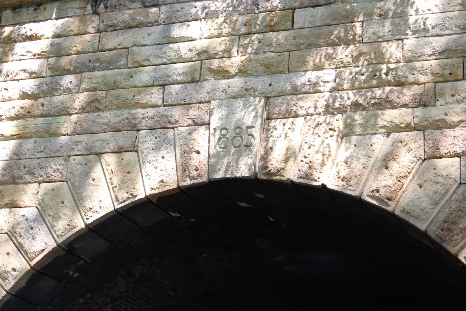
| Build Date | Date carving |
| Builder (original structure) | The St. Paul Globe; August 23, 1885 |
| Railroad History Citation | ICC Valuation Information, Compiled by Richard S. Steele |