
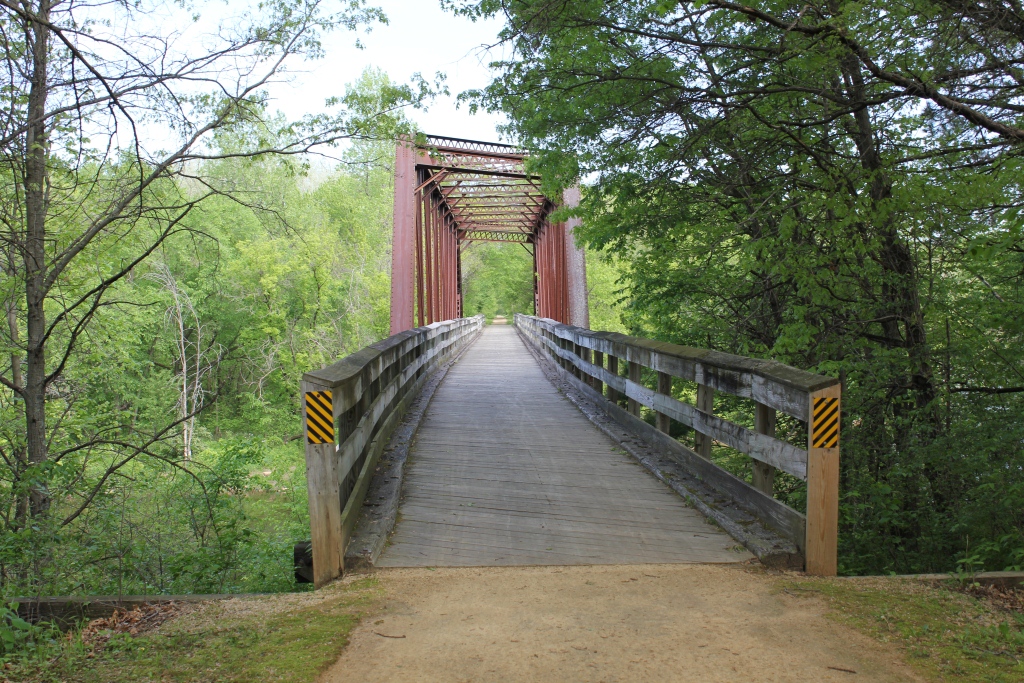
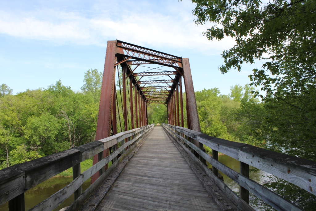
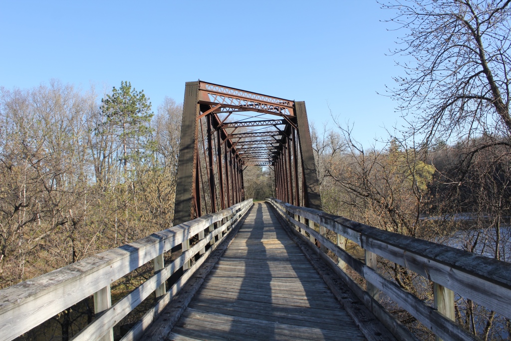
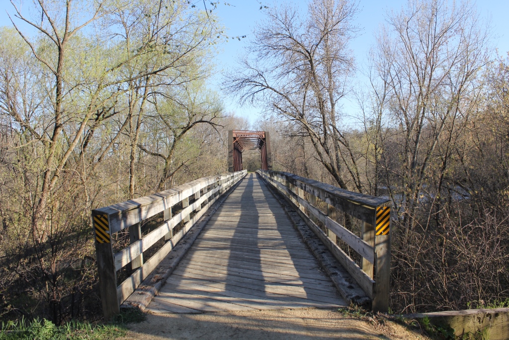
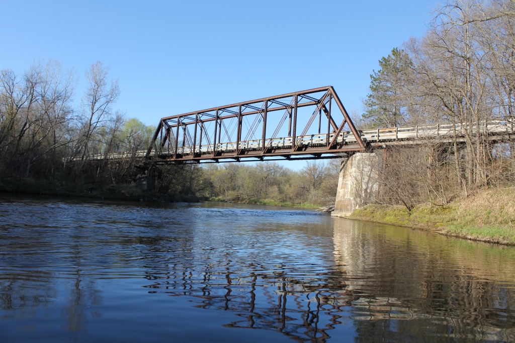
This unique bridge crosses the Red Cedar River on a heavily skewed truss.
Built in 1882 at Bridge #Z-312 (Rock River; Byron, Illinois), this bridge is one of four spans known to have been reused when that bridge was replaced in 1905. Other spans continue to exist at Fayette, Iowa and Lanesboro, Minnesota. The fourth span was sent to Good Thunder, Minnesota; prior to being replaced by the current bridge. The current disposition of that span is unknown, but it has likely been scrapped.
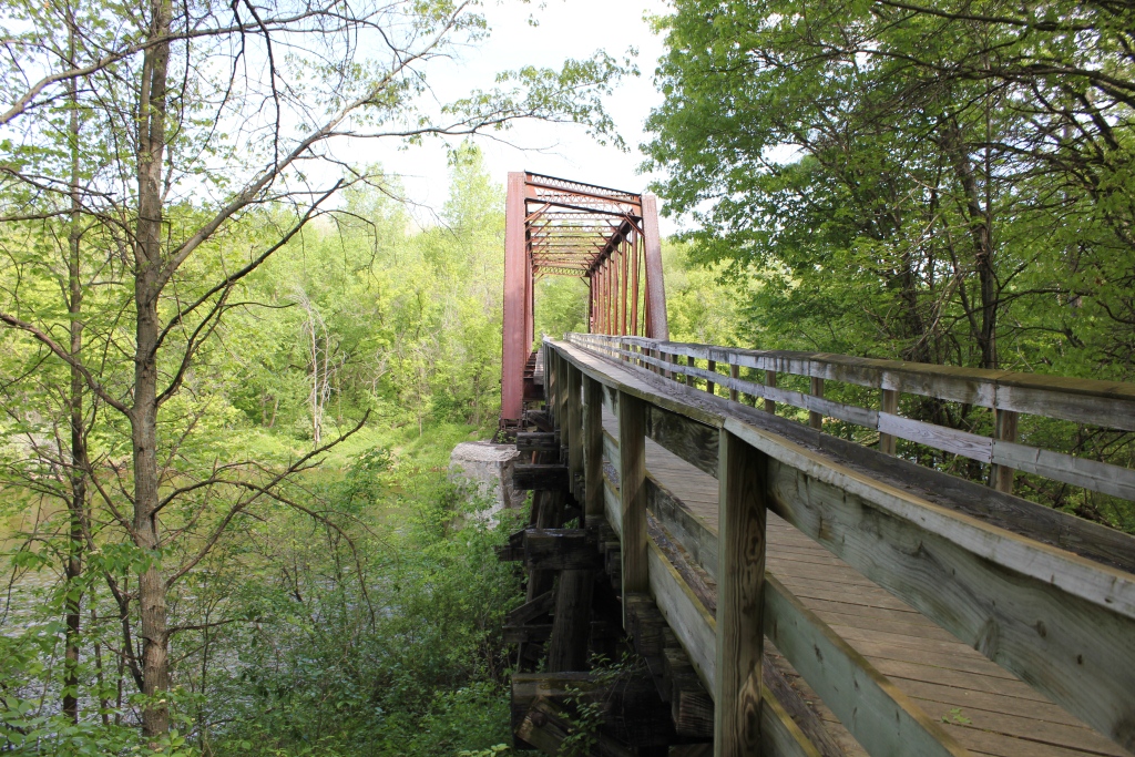
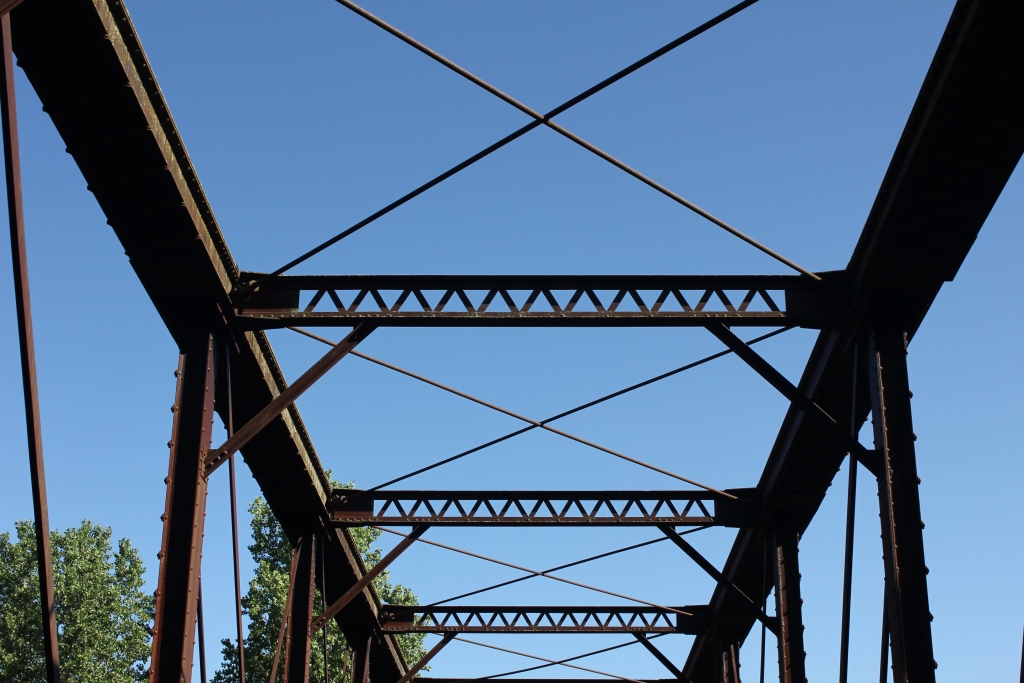
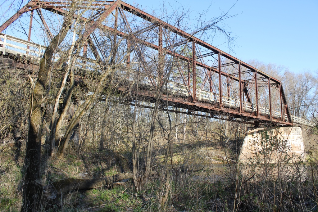
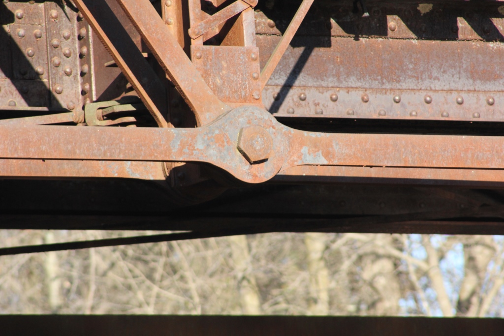
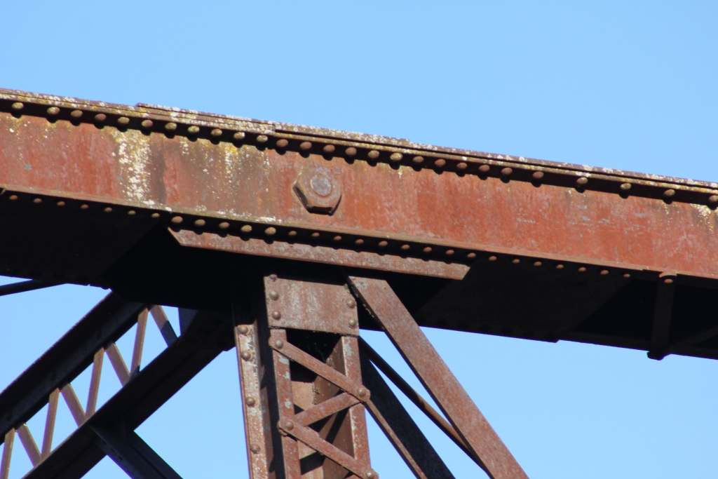
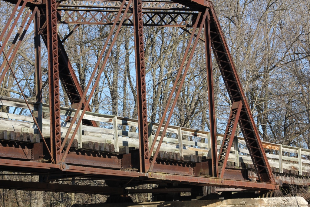
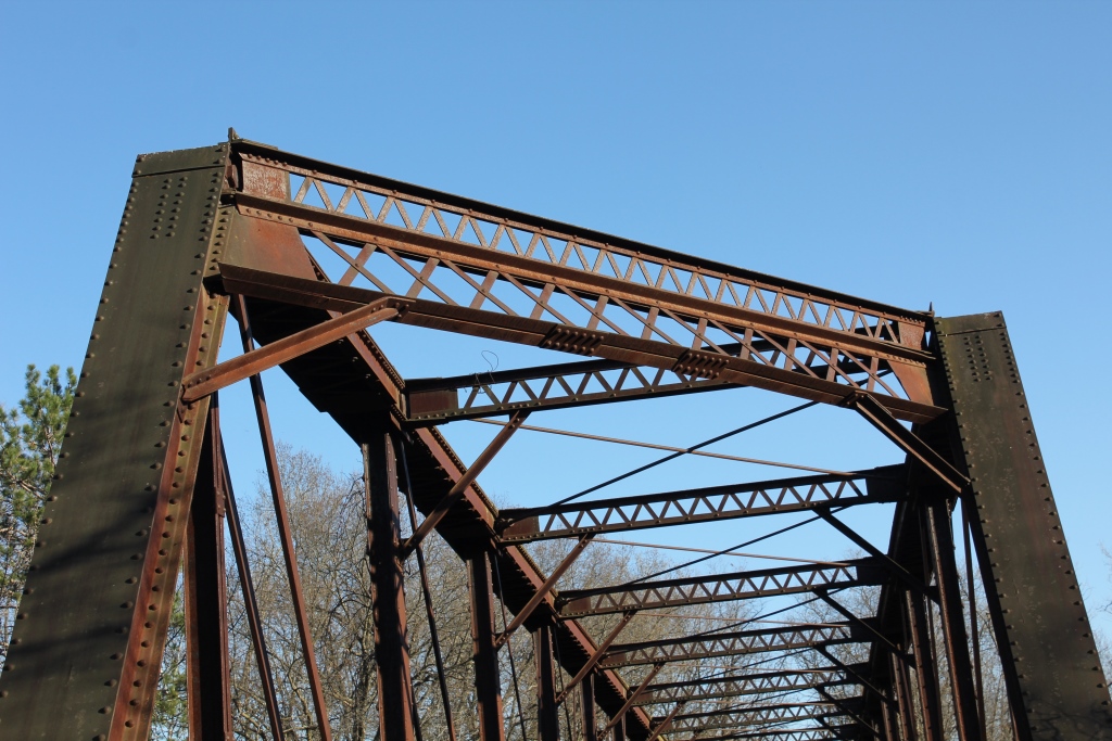
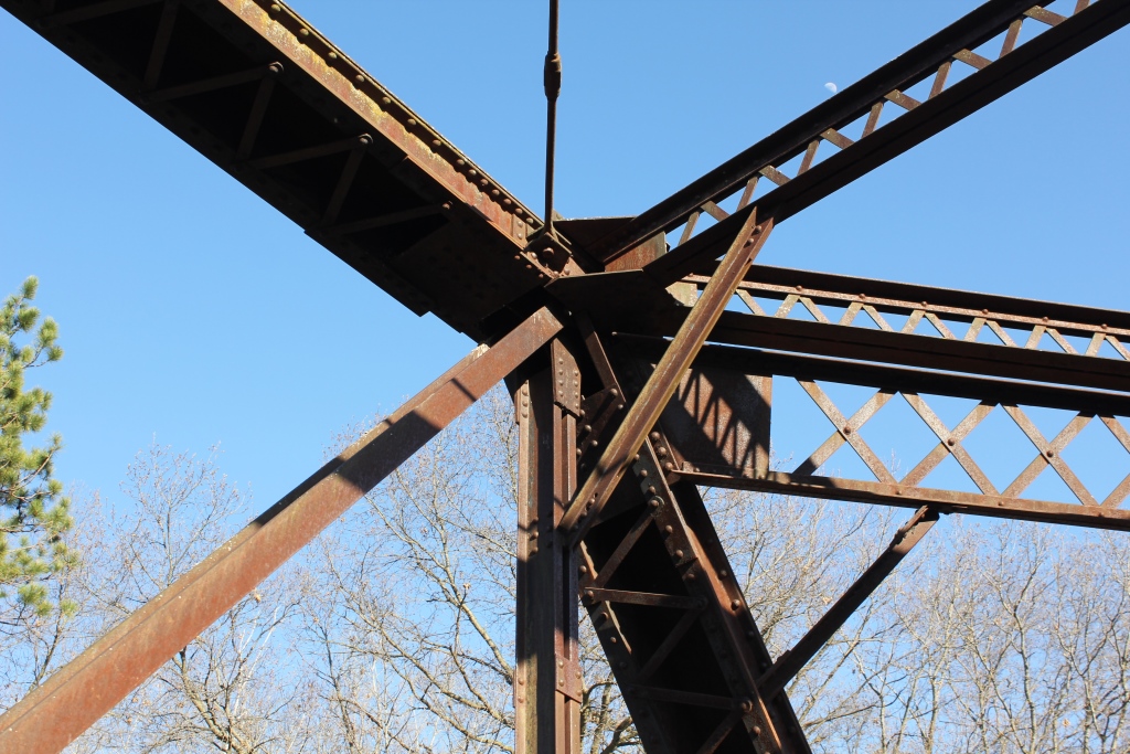
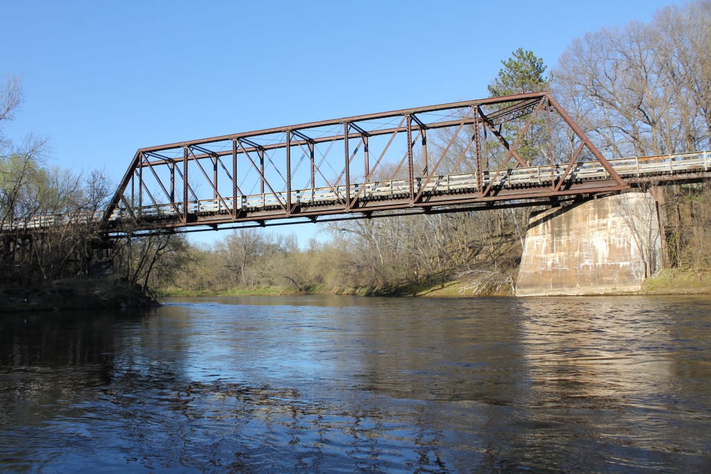
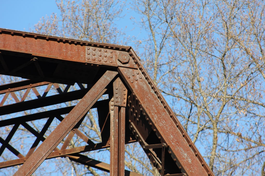
The truss itself is a significant piece of work. The 9 panel span features a heavy 45 degree skew, pinned connections and unique portal bracing.
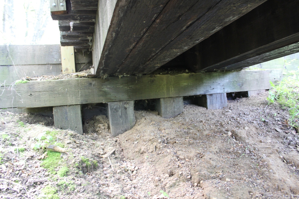
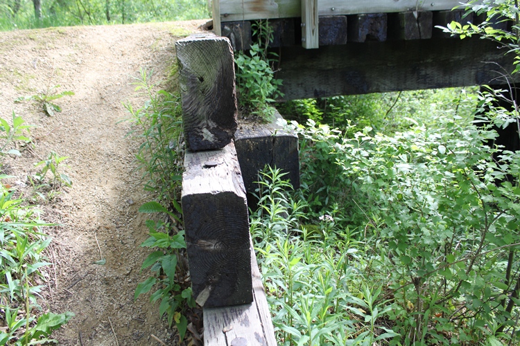
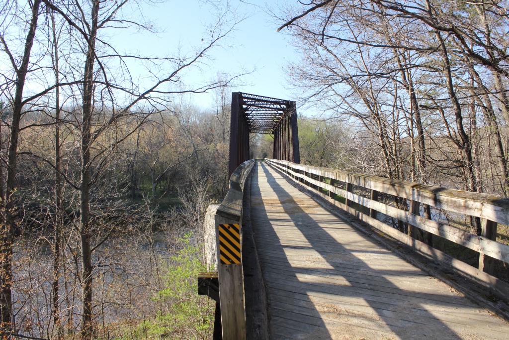
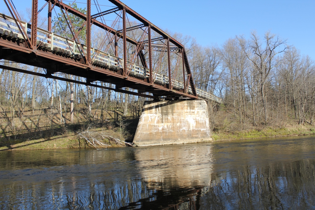
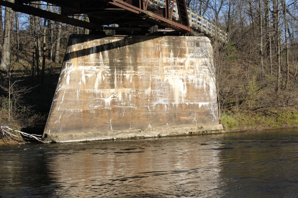
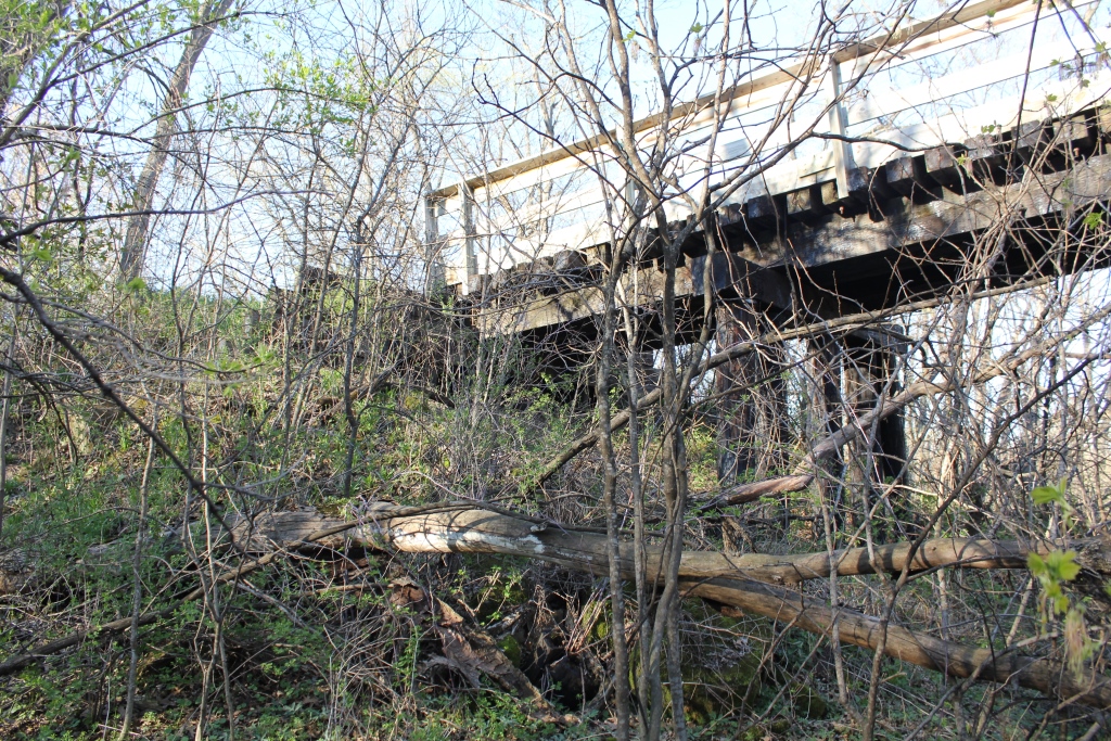
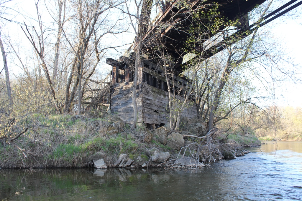
The structure is supported by one concrete pier, and one wooden pier. The approaches are timber.
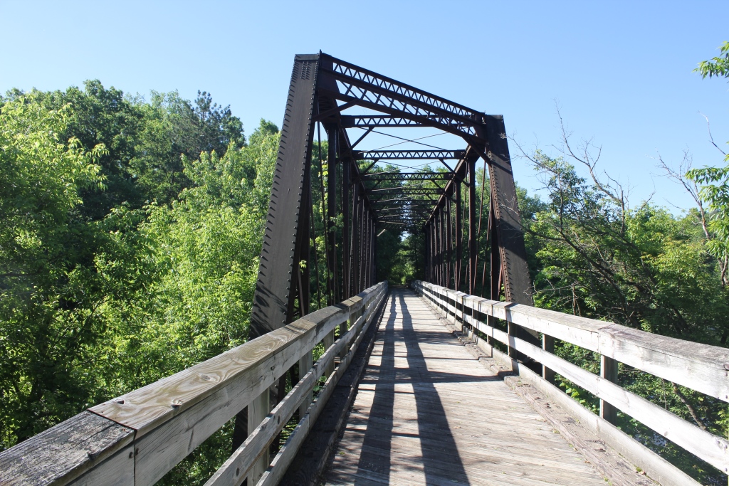
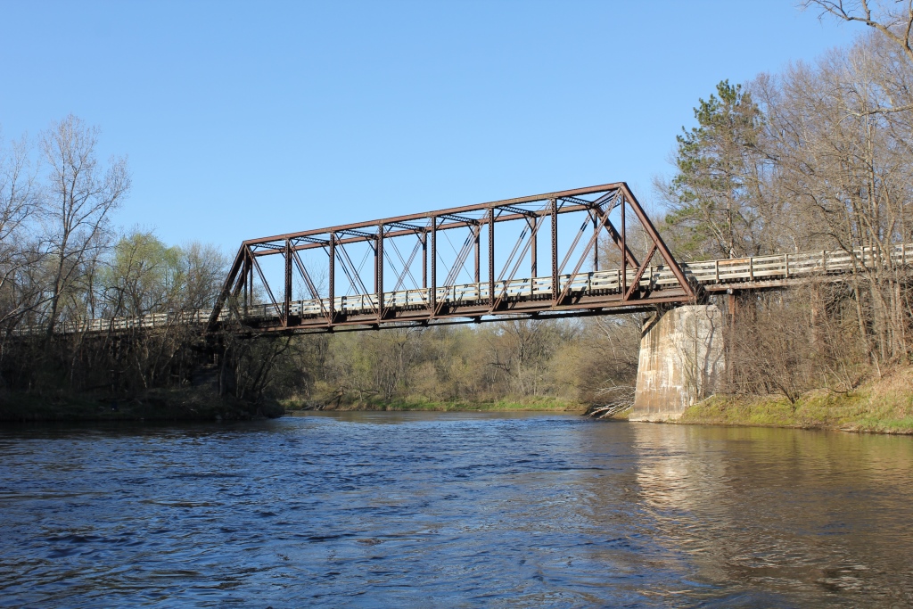
Because of the awkward geometry between the structure and river, the best photos come from deck level.
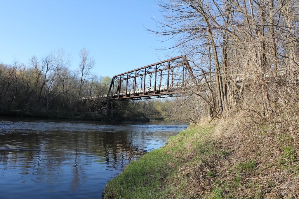
Despite this, the photo above was taken from a canoe, thanks to a couple of fishermen who really took an interest in the structure.
This unique angle shows off the beauty of the structure and surrounding areas.
The author has ranked this bridge as highly significant, due to the build date and detailed relocation history.
The photo above is an overview.
| Upstream | Abandoned Red Cedar River Bridge |
| Downstream | Confluence with Chippewa River |