
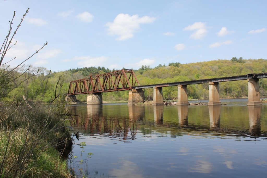
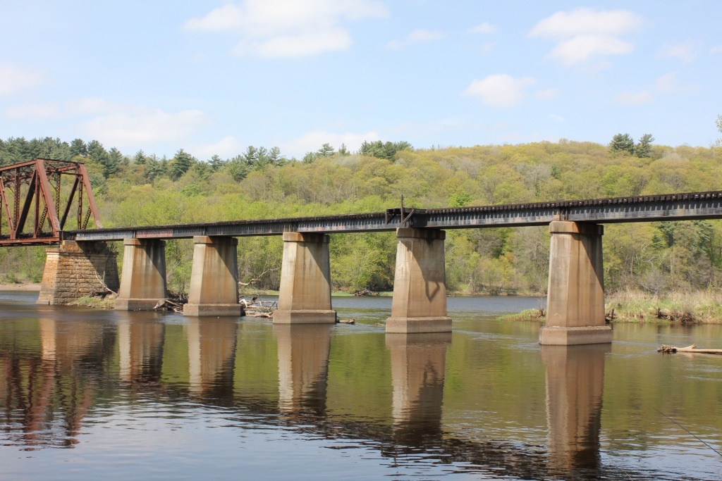
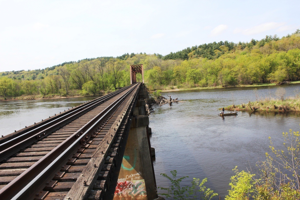
One of the most underrated structures along the St. Croix River is the Cedar Bend Drawbridge, which is a beautiful structure.
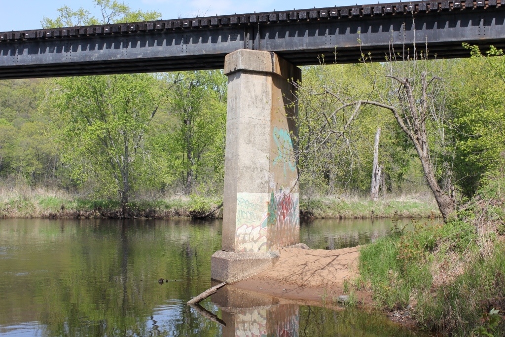
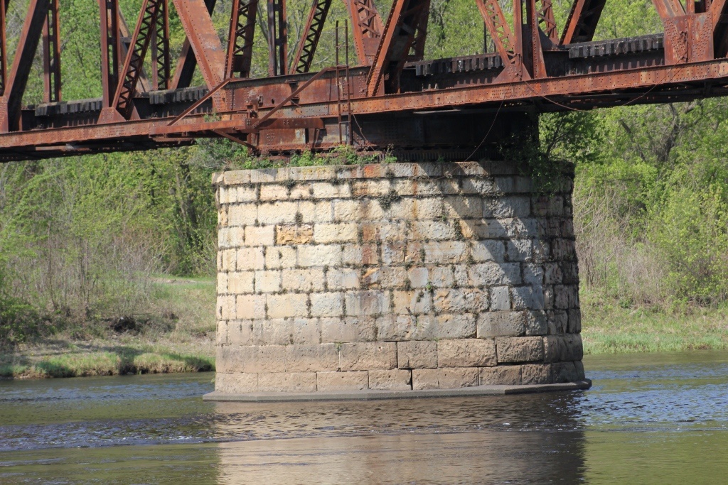
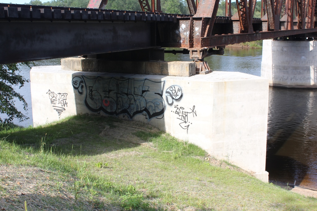
Unfortunately, encasement of the stone piers has made it significantly less attractive.
However, the bridge is located in a highly isolated area near Osceola, Wisconsin. The bridge is only accessible with a four wheel drive vehicle, such as a light truck or a ATV.
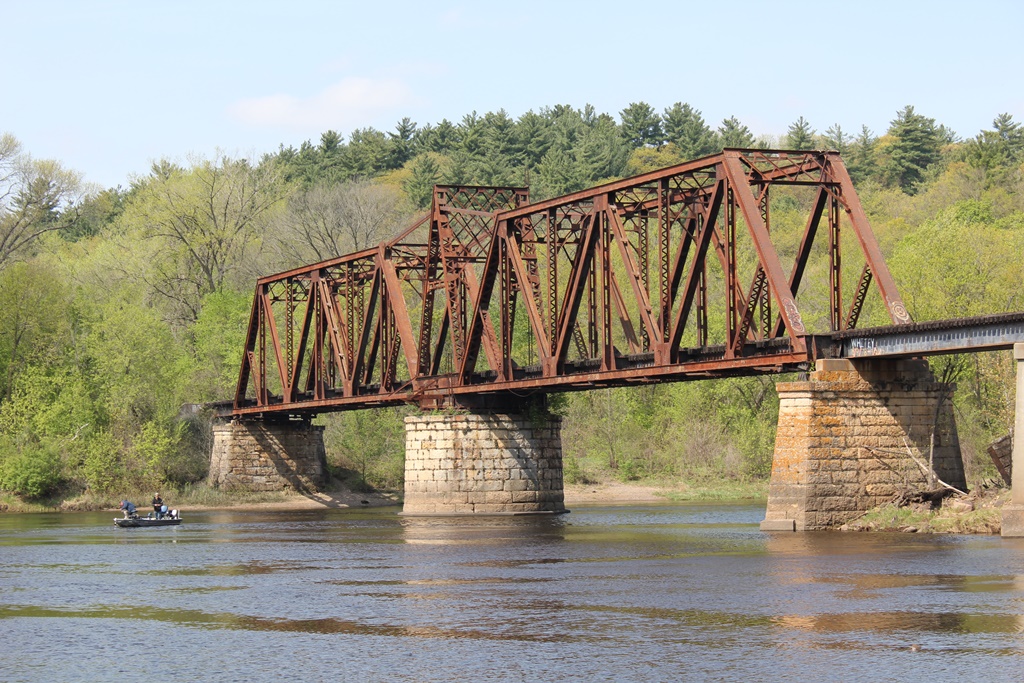
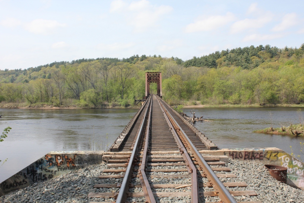
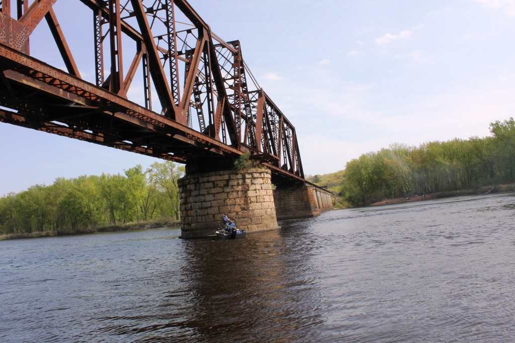
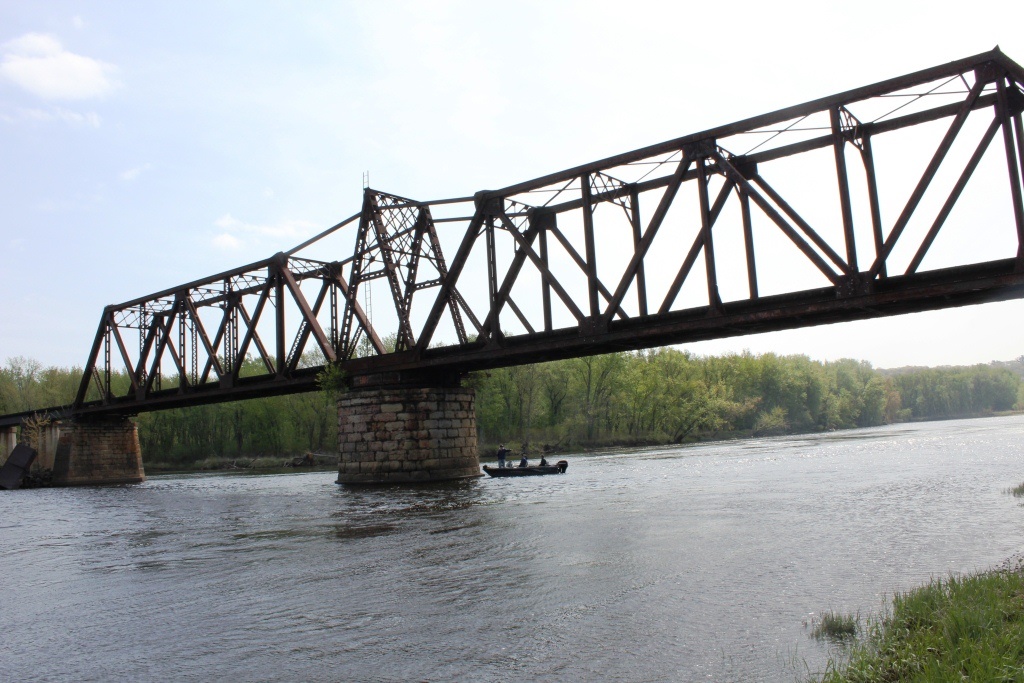
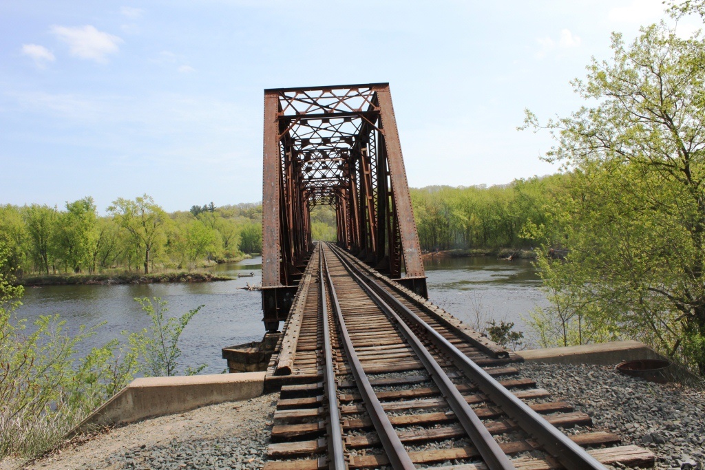
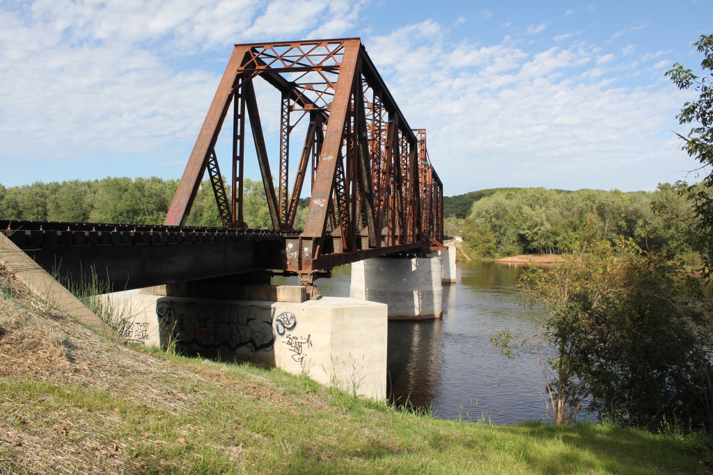
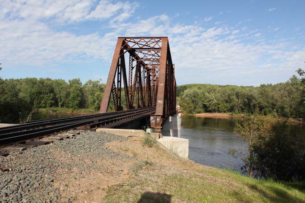
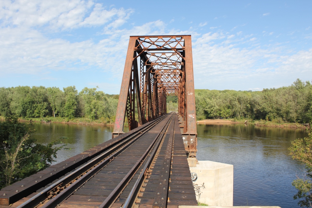
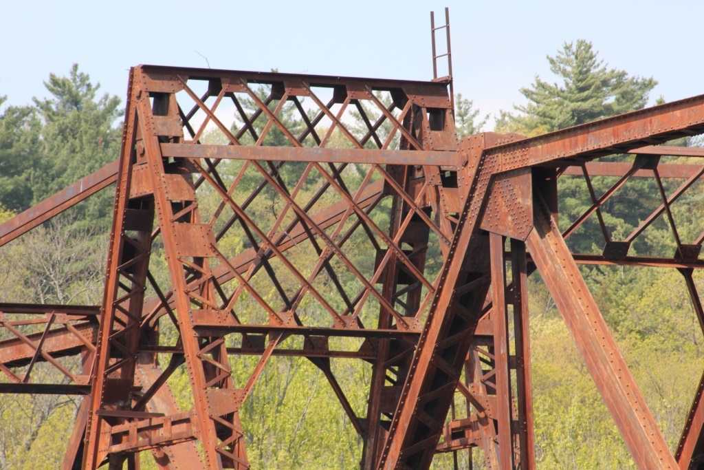
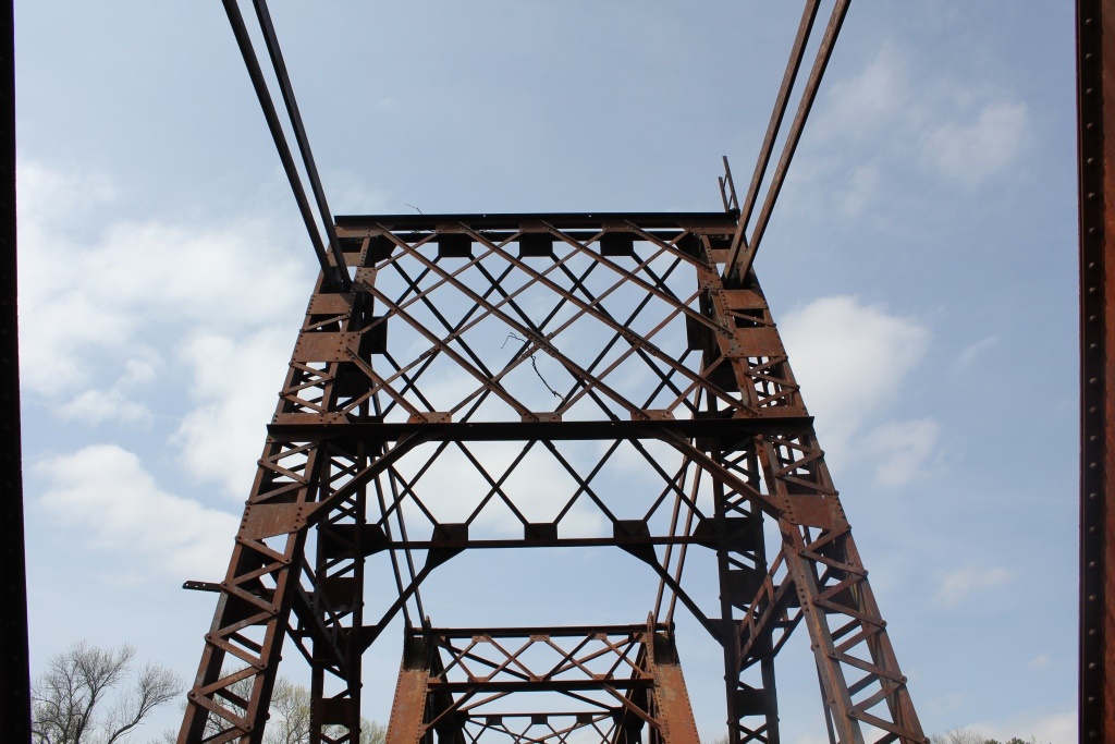
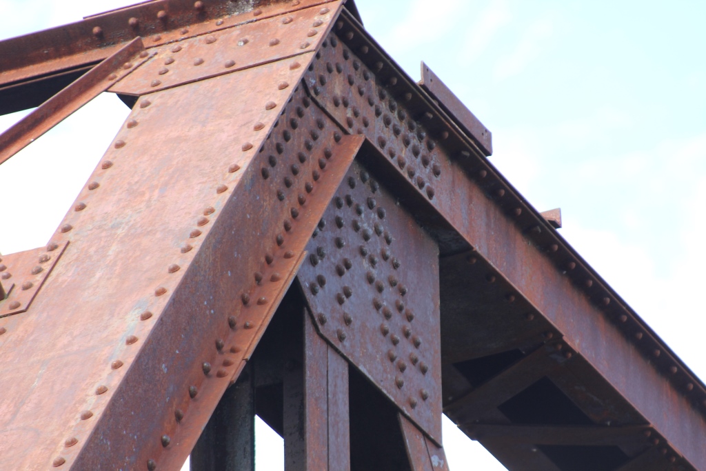
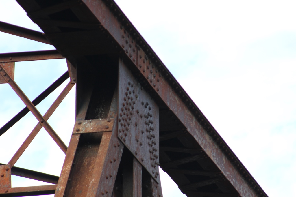
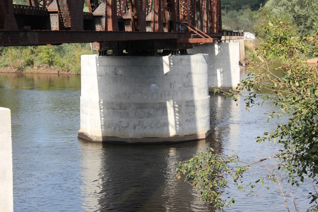
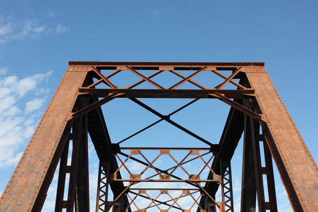
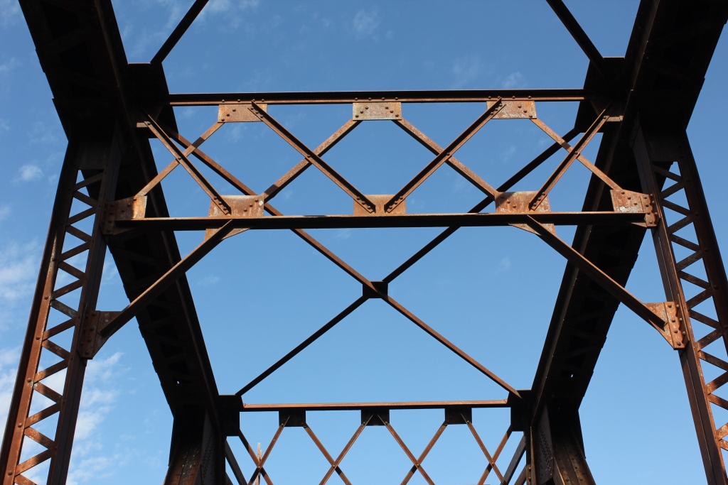
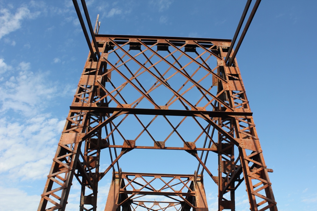
Built in 1913, the bridge features a pair of 6 panel, riveted Warren Through Trusses set onto a Swing Pier. These spans are connected by a tower, creating a standard swing span. It is unknown if this bridge ever opened, but it was designed by the railroad head engineer.
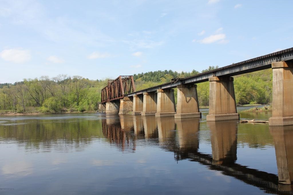
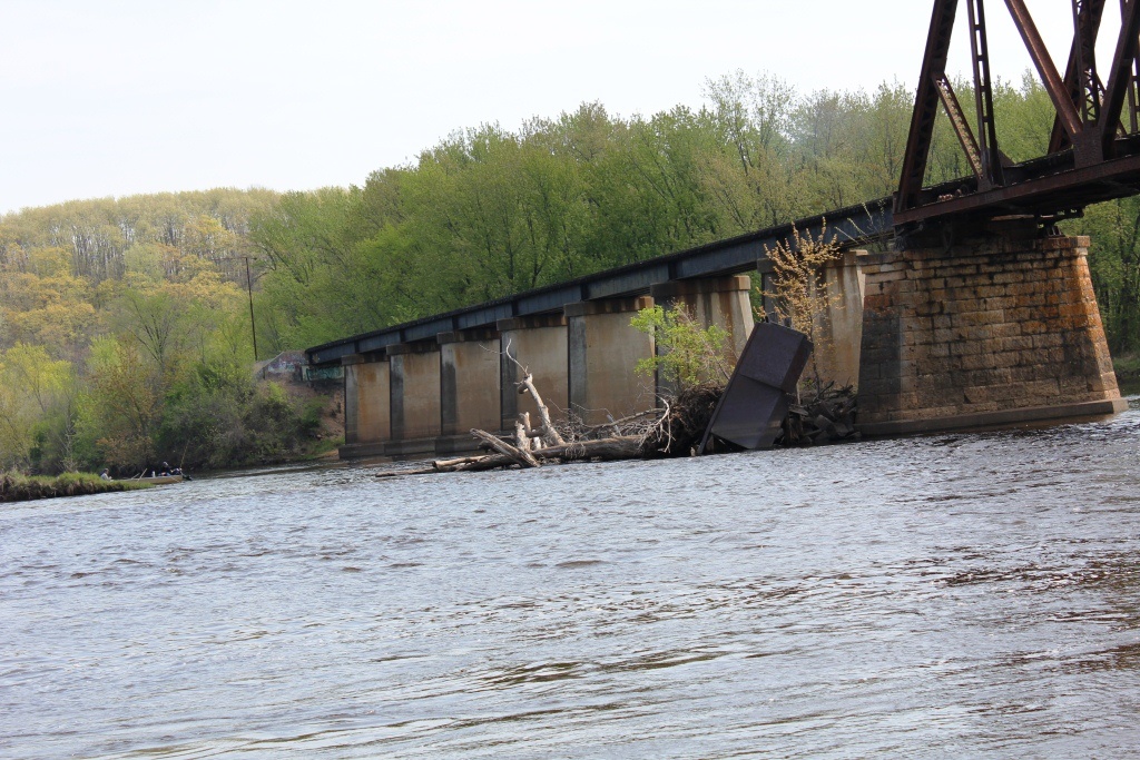
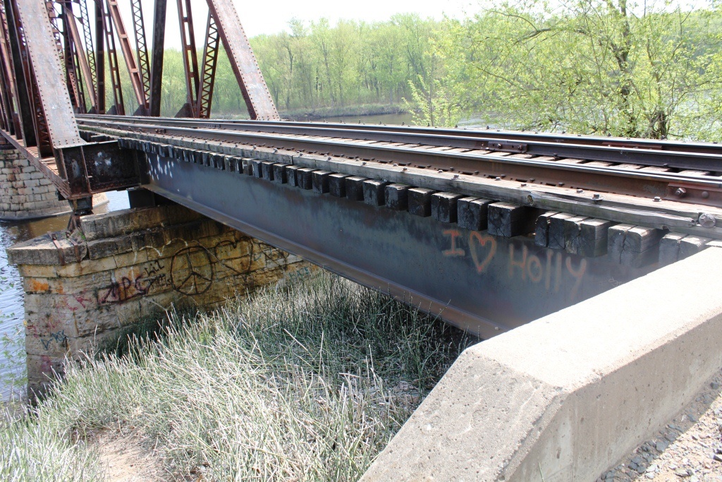
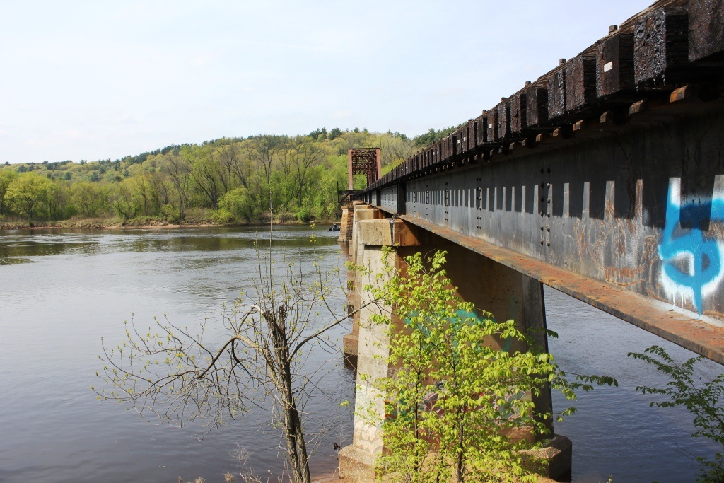
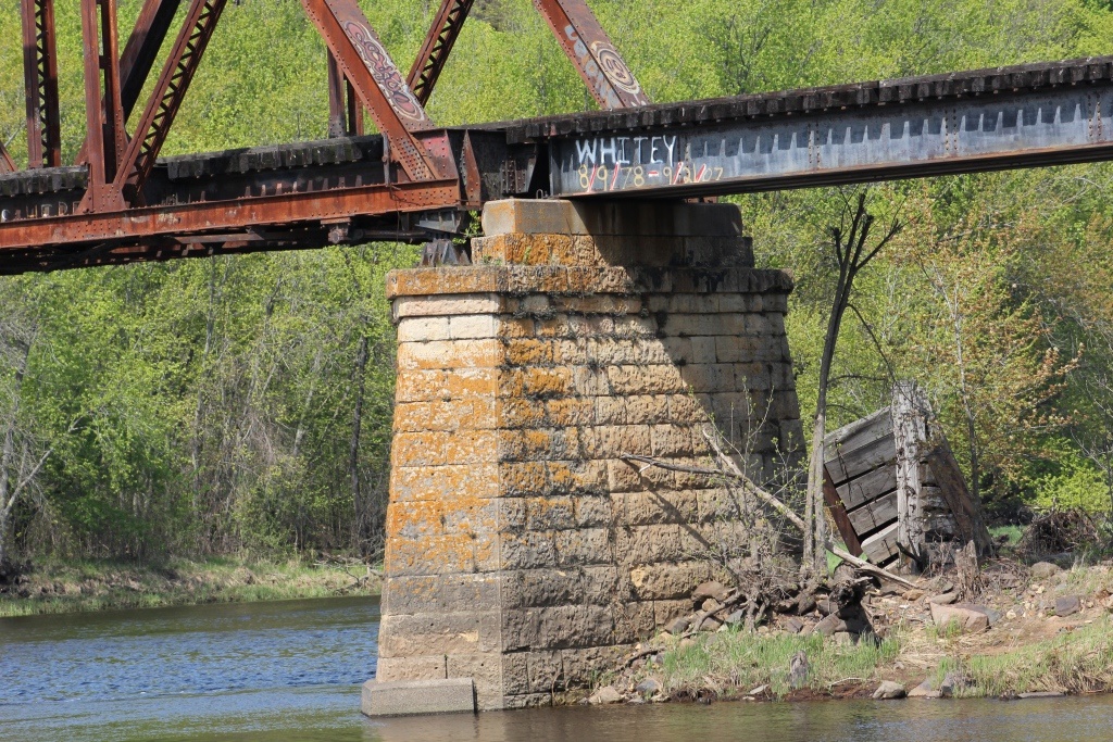
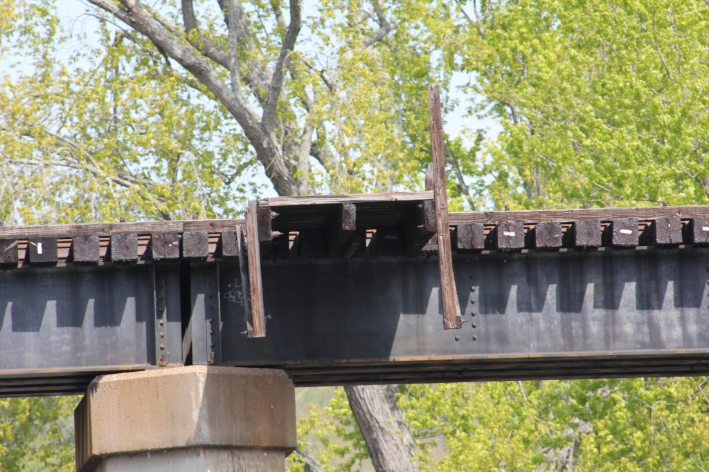
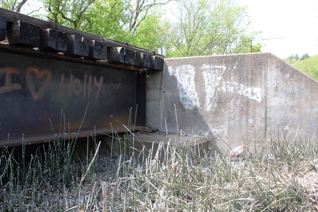
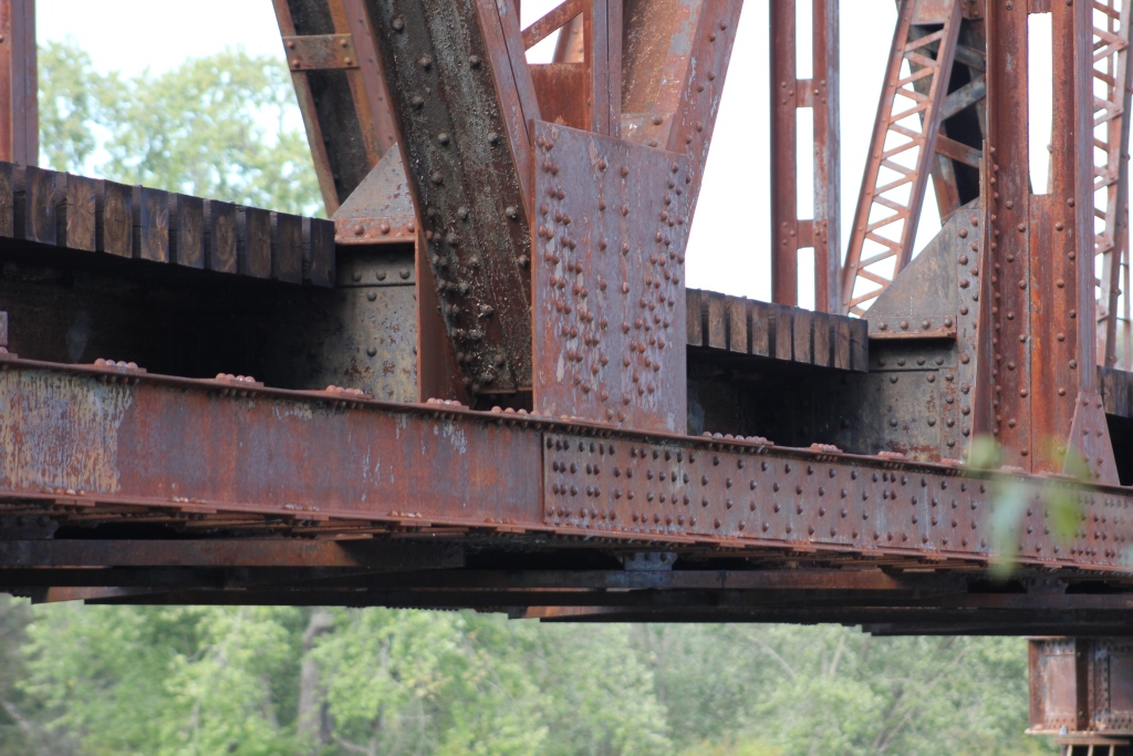
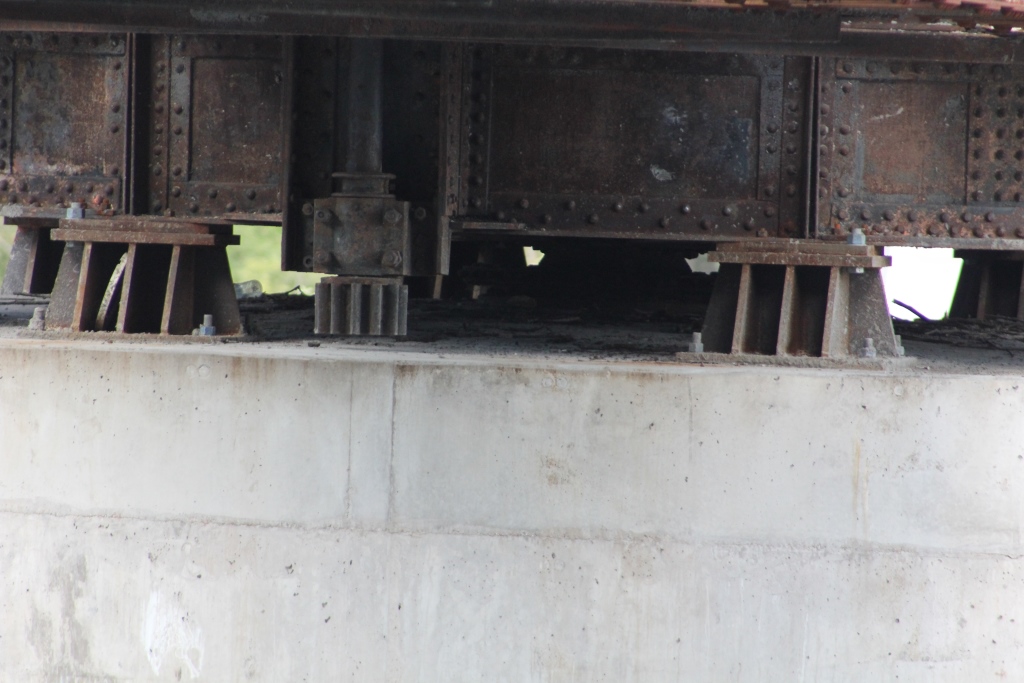
On the east side, 9 I-Beam spans approach the bridge. On the west side, a single I-Beam span approaches it.
These I-Beam spans were added in 1962 to replace an aging trestle.
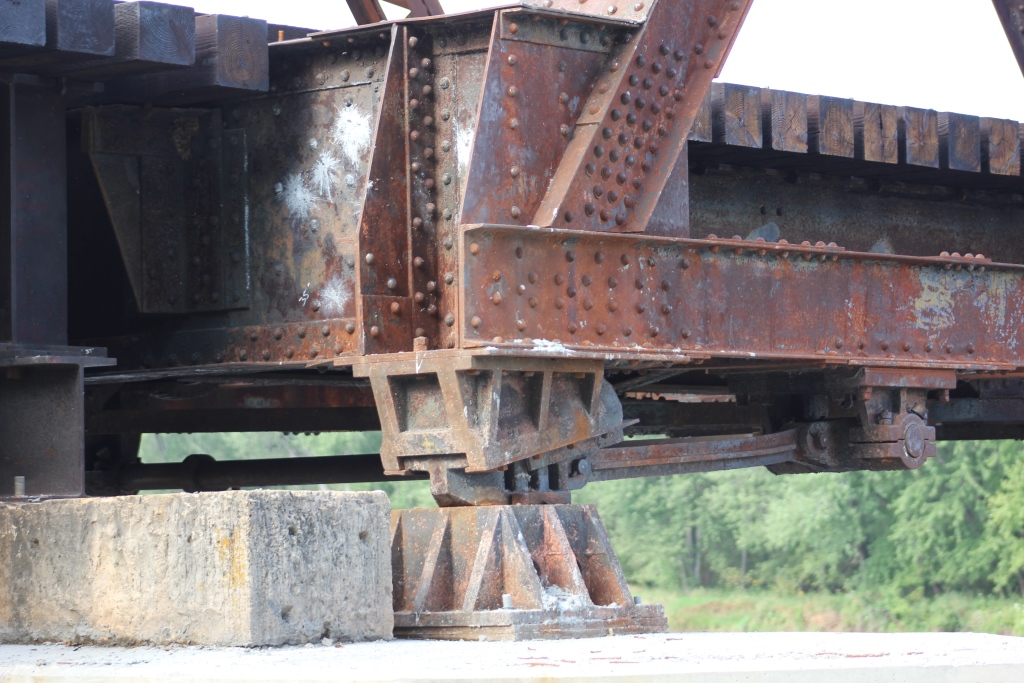
The bridge sits on concrete piers and stone piers, encased in cement.
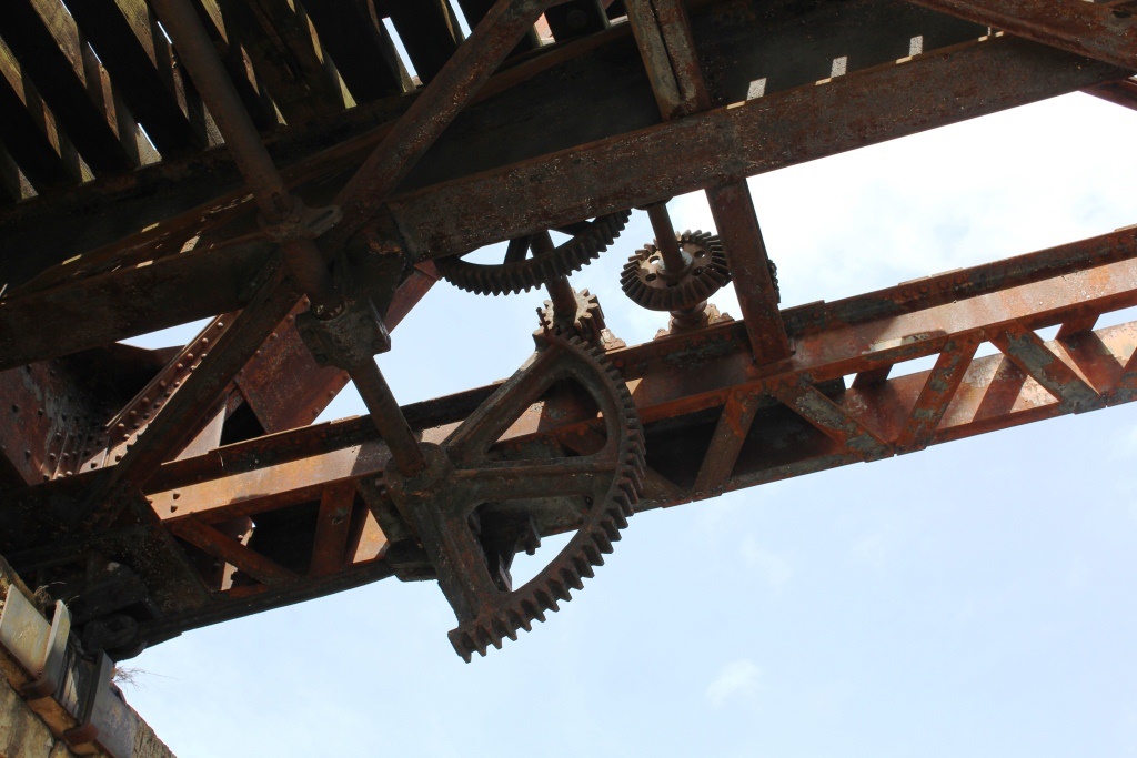
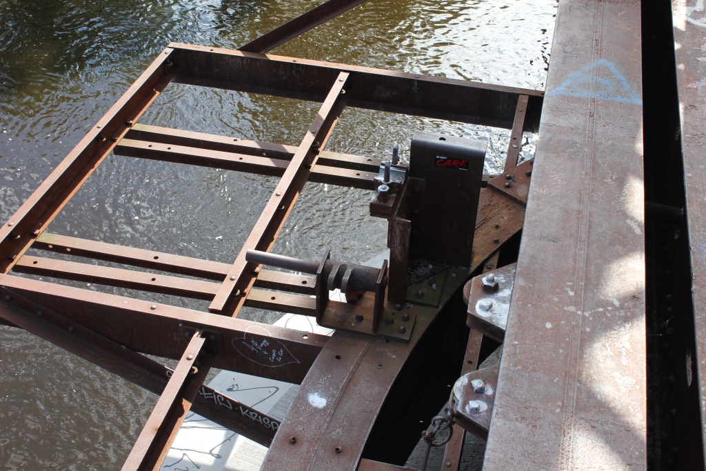
The swing span is no longer operational, as the gears have been removed so it can no longer turn.
Access to the bridge can be very difficult. From WI-35, turn west onto 55th Avenue and follow it back. This turns into Drawbridge Drive, a very poorly maintained gravel road, featuring many sharp turns, potholes and outright ruts.
The most dangerous part of this drive is the massive approach to the railroad tracks. This steep hill has not been graded well, and extreme caution must be used. As of 2017, the road was gated off.
The author has ranked this bridge as being locally significant, due to the newer age and truss design.
The photo above is an overview.
| Upstream | NP St. Croix River Bridge (Rush City) |
| Downstream | Soo Line High Bridge |
Detail Photos